File:Liquid Amber Range.png
No higher resolution available.
Liquid_Amber_Range.png (605 × 600 pixels, file size: 339 KB, MIME type: image/png)
Summary
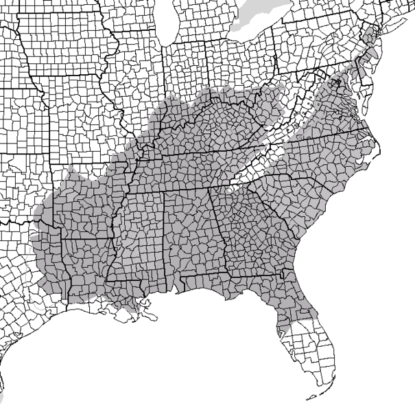
Created using map found on Wikiedia at United States showing all counties. Map was created using US Foresty Service map as model.
Licensing

Permission is granted to copy, distribute and/or modify this document under the terms of the GNU Free Documentation License, Version 1.2 or any later version published by the Free Software Foundation; with no Invariant Sections, no Front-Cover Texts, and no Back-Cover Texts.
Subject to disclaimers.
File history
Click on a date/time to view the file as it appeared at that time.
| Date/Time | Thumbnail | Dimensions | User | Comment | |
|---|---|---|---|---|---|
| current | 10:29, 14 August 2007 | | 605 × 600 (339 KB) | MediaWiki default (talk | contribs) | == Summary == Created using map found on Wikiedia at United States showing all counties. Map was created using US Foresty Service map as model. == Licensing == {{GFDL}} http://en.wikipedia.org/wiki/Image:Liquid_Amber_Range.png |
You cannot overwrite this file.
File usage
There are no pages that use this file.